.png)
What is AgriTwin ?
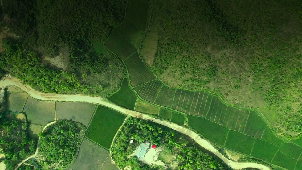
Digital Twin of your Farm
.jpg)
Monitor crop health, soil conditions, vegetation strength, and field variability using satellite intelligence and precision mapping.
-
Track crop performance across every farm block
-
Monitor vegetation health and nutrient conditions
-
Detect low-performing zones early
-
Support precision farming decisions with GIS insights
.jpg)
.jpg)
.jpg)
.jpg)
Satellite Insights
High-resolution Imagery & NDVI
IoT Data
Real-time moisture, weather & micro-climate
AI Analytics
Advanced models for insights & predictions
GIS Mapping
Block-wise maps for better decision making
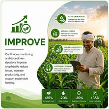
How AgriTwin Helps Farmers
AgriTwin helps farmers monitor crop health using satellite data, detect stress and disease-risk zones early, plan irrigation using moisture insights, track farm performance block-wise, optimize fertilizer and pesticide usage, and support income and harvest planning.
Crop Health
Monitor crop conditions using satellite insights
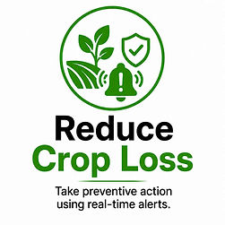
Disease Alerts
Detect stress and disease-risk zones early
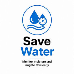
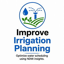
Smart Irrigation
Optimize water usage with moisture analysis
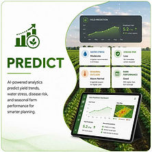
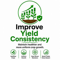
Yield Prediction
Track farm performance and forecast yield
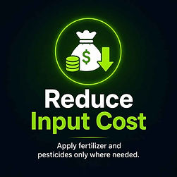
Input Optimization
Reduce fertilizer waste and improve harvest planning
One Intelligent Decision System
How AgriTwin Works
AgriTwin combines satellite intelligence, IoT sensors, AI analytics, GIS mapping, and field observations to improve farming decisions every season.
.jpg)
.jpg)
.jpg)
.jpg)
.jpg)
Why AgriTwin Is Different
Integrated Intelligence
AgriTwin connects satellite monitoring, smart field sensors, GIS mapping, AI-driven analysis, and real-time field validation to help farmers make faster, smarter, and data-backed decisions throughout the crop cycle.
.jpg)
.jpg)
.jpg)
.jpg)
.jpg)
Live Dashboard
Mobile Application


Crop Intelligence System
Smart Crop & Water Intelligence
-
NDVI tracks crop health and vegetation strength.
-
NDMI helps monitor moisture levels and water stress.
-
EVI, GNDVI, NDRE, SAVI, Soil Moisture, and Surface Temperature reveal nutrient conditions, hidden crop stress, heat impact, and irrigation needs.
Early Stress Detection
Water Optimization
Precision Monitoring
NDVI
Shows crop greenness and plant health.
NDMI
Detects moisture levels and water stress.
EVI
vegetation monitoring in dense crops.
GNDVI
Tracks chlorophyll and nitrogen conditions.
NDRE
Identifies early crop stress before damage.
SAVI
Improves analysis in sparse vegetation areas.
Soil Moisture + Surface Temp
Benefits for Farmers & Agribusinesses
.jpg)
.jpg)
.jpg)
.jpg)
.jpg)
.jpg)
.jpg)
.jpg)

Who Can Use AgriTwin ?
.jpg)
.jpg)
.jpg)
.jpg)
.jpg)